-
Ground-penetrating Radar Studies at the HAMMER Test Facility, Richland, Washington

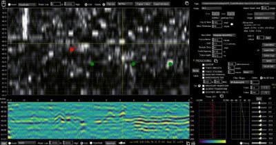
The HAMMER geophysical test bed in Richland, Washington provides a facility to compare ground-penetrating radar (GPR) reflection images to known archaeological features in the ground. Simulated buried features including stone cairns and rings, burials, trash middens, artifacts and other materials were buried at depths from 12-36 inches in sandy ground and then re-buried with the same material. Grids of GPR data were collected in dry and wet ground conditions, and the amplitude maps from each were compared to the known buried features using 900, 500 and 400 MHz frequency reflection maps and profiles.
-
Integrating ground-penetrating radar (GPR) and magnetic mapping to understand prehistoric mounds, Mapoon area, Queensland, Australia

Ground-penetrating radar (GPR) and magnetic surveying of 17 earth mounds on the northern Cape York Peninsula show that prior to the construction of the mound areas were used as food processing or ritual activities that included organic matter and burning. Later, perhaps with increased population and cultural complexity, these areas were transformed into raised mounds, some of which were used for burials. A few mounds do not show evidence of underlying activity areas consisting of burned or organic-rich areas and not all contain burials. Most, however, fit the model of transformation of important places on the landscape into raised structures…
-
Hominid Footprint Model Used to Test Antenna Frequencies and Field Methods for the Laetoli Site

A footprint model was created in mud and covered in volcanic sand as a way to mimic conditions at the Laetoli, Tanzania site. Many antenna frequencies were tested with the buried prints uncovered, covered by plywood, and by a yoga mat. It was found that the yoga mat with the 2.6 GHz antennas produced the best results to image the footprints.