
by Javier Oviedo González
Ground-penetrating Radar Analysis, Jicaro Beach, Guanacaste, Costa Rica
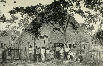
The ephemeral remains of buildings in a Late Period Costa Rican village proved challenging for GPR mapping because little remained but foundation stones and compacted earth floors. Those features had been disturpted over the last 800-900 years by erosion, flood deposits, root action and slumping of the ground. Standard amplitude mapping proved to be beneficial…
3 responses to “Ground-penetrating Radar Analysis, Jicaro Beach, Guanacaste, Costa Rica”
-
This is a very important article that shows how important it is to integrate standard amplitude slice-maps with two-dimensional reflection profiles. At this site a good deal of disturbance has occurred over the centuries, which has moved stones around, slumped the ground, and made for a very complicated preservation of materials. Tropical forest tree roots complicate the ground even more. The methods to map this important ancient village are discussed in this report. These are methods that can be readily used at most sites with complicated ground (which is almost all of them that I have worked on!
-
wow! this looked like a challenging environment to run GPR! great outcome!
good to see the resort developer surveyed the area and didn’t damage any of the arch. in the subsurface. i wish this was the approach in Australia. -
I learned a lot from this. Thank you.
Leave a Reply