

Category: Articles
-
The HAMMER geophysical test bed in Richland, Washington provides a facility to compare ground-penetrating radar (GPR) reflection images to known archaeological features in the ground. Simulated buried features including stone cairns and rings, burials, trash middens, artifacts and other materials were buried at depths from 12-36 inches in sandy ground and then re-buried with the…
-
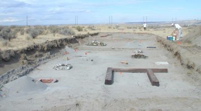
Ground-penetrating radar (GPR) and magnetic surveying of 17 earth mounds on the northern Cape York Peninsula show that prior to the construction of the mound areas were used as food processing or ritual activities that included organic matter and burning. Later, perhaps with increased population and cultural complexity, these areas were transformed into raised mounds,…
-
A footprint model was created in mud and covered in volcanic sand as a way to mimic conditions at the Laetoli, Tanzania site. Many antenna frequencies were tested with the buried prints uncovered, covered by plywood, and by a yoga mat. It was found that the yoga mat with the 2.6 GHz antennas produced the…
-
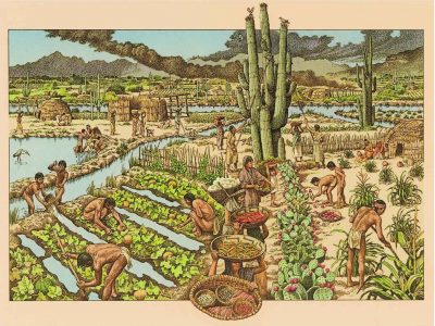
This report documents a project to apply geophysical prospecting techniques at known locations of prehistoric canals in the Gila River Reservation. The project goal was to test the ability of several geophysical prospecting techniques to image buried canals in the Gila River floodplain. Four geophysical prospecting approaches were tested: ground penetrating radar, seismic reflection imaging,…
-
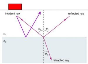
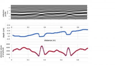
Any comprehensive interpretation of GPR data must include the integration and analysis of both amplitude slice-maps and two-dimensional reflection profiles. Often one method can yield results that the other cannot, producing important insights. One example from Ireland shows how slice-maps produced very useful images of subtle post molds, which outlined a crannog in a pond…
-
Geophysical investigations were conducted at three Carrizo Corridor Stage Stations within the Anza Borrego Desert State Park to search for buried objects and structures associated with historic occupation of these sites. Field surveys were conducted on March 21-23, 2001 at Carrizo Creek, Palm Spring, and San Felipe Stage Station. Three geophysical techniques were employed: ground…
-
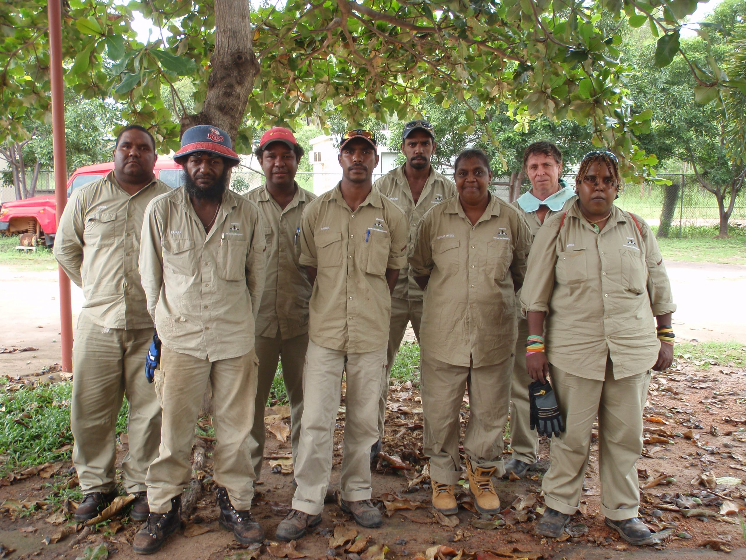
Under the Aboriginal Land Rights Act, we have responsibilities and a statutory role to: (a) Take action to protect the culture and heritage of Aboriginal persons in the council’s area, subject to any other law; and (b) Promote awareness in the community of the culture and heritage of Aboriginal persons in the council’s area. This…