

Category: Articles
-

Previously I wrote a paper on the mapping of the hominid tracks at Laetoli Site S, which connected the trackway from two excavations conducted in 2016. In the search for other tracks in other grids, I mapped other features that are not footprints, but could be confused with them. This short paper is that analysis,…
-

Four sites with standing pillars, often in clusters or circles, which are estimated to be 8,000 years old, were constructed on the margin of a large freshwater lake in northern Kenya in the early Pliocene. Limited excavations of one of them showed abundant human remains associated with these monuments. GPR surveys were carried out within…
-
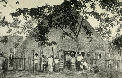
The ephemeral remains of buildings in a Late Period Costa Rican village proved challenging for GPR mapping because little remained but foundation stones and compacted earth floors. Those features had been disturpted over the last 800-900 years by erosion, flood deposits, root action and slumping of the ground. Standard amplitude mapping proved to be beneficial…
-
This survey was designed to employ geophysical techniques that included three technical approaches: grorn1d penetrating radar (GPR), total field magnetometry (MAG), and electromagnetic induction (EM). Only two of the geophysical tools were used, EM and GPR.Upon inspecting these locations, it was decided that MAG would not be effective because of thehigh metal content of the…
-

The distribution of ancient dugout canoes, which were abandoned on waterways in Florida, were mapped with GPR and their locations studied using GIS. Canoes were located using GPR reflection profiles, which were compared to 2-D forward models for interpretation. Two lakes in northern Florida were found to contain many canoes, which were concentrated in distinct…
-

Many GPR reflection profiles were collected using a canoe on a freshwater lake in the Rocky Mountains. Excellent radar wave penetration was measured, using both 270 and 400 MHz antennas. Reflection traces were placed into space using GPS and individual profiles were interpreted, with the lake bottom and other reflections digitized for three-dimensional mapping. It…
-

This is a fun paper that shows how even some of the worst conditions for GPR, can prove to be important with results that the client said were important. One of the very worst GPR projects of all time with collection in the rain and the ground wet cow manure.